
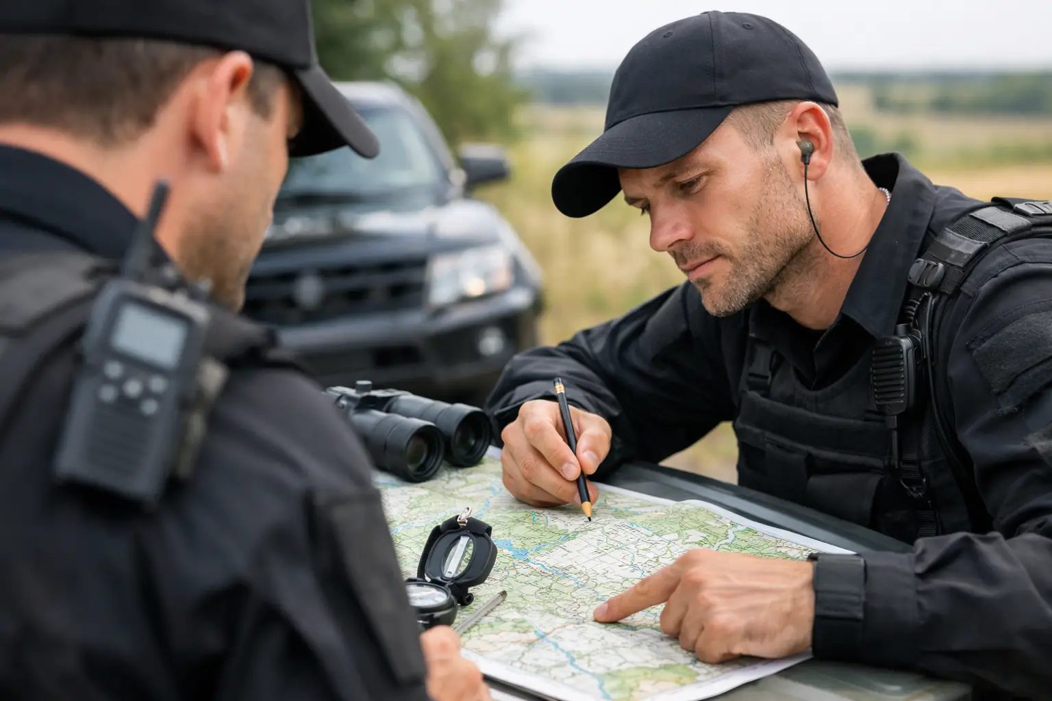
A security officer arriving at an unfamiliar business park at 5am cannot afford to lose ten minutes looking for the correct entrance, control room or evacuation point. In security work, knowing where you are, how to get where you need to be and what sits around you can affect response times, personal safety and the quality of your report. That is where topographical skills training becomes valuable.
Topographical awareness is not about becoming a surveyor or learning every road in the country. It is a practical workplace skill: reading maps and site plans, understanding routes, identifying landmarks and using location information accurately. For mobile patrols, events, large sites and roles with public-facing responsibilities, it gives you the confidence to act with purpose rather than guesswork.
What are topographical skills?
Topographical skills are the skills used to understand the physical layout of an area. They help you recognise how roads, buildings, entrances, boundaries, public spaces and access routes connect. In a security setting, this means being able to interpret a site map, locate key points and communicate a precise location to colleagues, emergency services or a control room.
A person with good topographical awareness should be able to follow a planned route without becoming reliant on another officer, distinguish between similar entrances or blocks, and identify the safest practical way to move through a site. They should also understand that a route which looks shortest on paper may not be the right route in practice. A gate may be locked, a path may be poorly lit, a crowd may be forming, or a vehicle barrier may restrict access.
This is especially relevant when you are working alone, covering an unfamiliar shift or responding to an incident under pressure. A clear understanding of the environment allows you to make better decisions quickly.
Why topographical skills training matters in security
Security officers are often judged on reliability, awareness and response. Topographical knowledge supports all three. If an alarm activates in a warehouse, office complex or residential development, you need to know which zone it relates to and how to reach it safely. If a member of the public needs help, vague directions can create frustration or delay. If emergency services are attending, accurate information can make a real difference.
It also supports prevention, not just response. During a patrol, officers who understand a site layout are better placed to spot unusual activity near blind spots, secondary access points, loading areas and perimeter boundaries. They can recognise where unauthorised entry is most likely and report weaknesses clearly to a supervisor or client.
For door supervisors and event security staff, the skill looks slightly different. You may need to direct customers towards exits, taxi ranks, first aid points, smoking areas or transport links. You may also need to manage queues so they do not block fire exits or affect neighbouring businesses. In busy environments, calm and accurate directions help you stay professional and keep people moving safely.
Topographical skills do not replace local induction, radio procedures or emergency training. They work alongside them. Every venue and client site has its own rules, restricted areas and contingency arrangements, so officers must still follow the assignment instructions and escalation process.
What good training should cover
Practical topographical skills training should focus on situations you may meet at work, rather than treating maps as a classroom-only exercise. The most useful training combines simple theory with tasks that make you read, plan and communicate.
A well-structured course or module may cover:
- reading basic maps, symbols, scales, grid references and direction;
- interpreting site plans, floor layouts, access routes and assembly points;
- planning safe routes for patrols, visits, collections or escorted movement;
- identifying hazards, restricted zones, bottlenecks and alternative exits;
- giving clear location updates using landmarks, gates, floors, zones or agreed radio terminology.
The best learning happens when these skills are used in realistic scenarios. For example, you may be given a site plan and asked to identify the fastest safe route to a reported incident. You may need to explain how a colleague should reach a specific loading bay, or identify two alternative exits if the main route is unavailable.
This matters because real working environments are not always tidy or predictable. Lighting changes, buildings have similar corridors, and a route can become inaccessible with little warning. Training should build the habit of checking your surroundings and having a back-up option.
Using maps, site plans and digital tools properly
Paper maps and printed site plans remain useful, particularly where mobile signal is weak, battery life is limited or phones cannot be used on duty. Being able to read a basic plan without depending entirely on navigation software is a sensible professional skill.
Digital maps can still be helpful for getting to a new location, checking surrounding roads or finding a suitable entry point. However, they should not be treated as the final authority once you arrive. A map application may not show a security gate, a pedestrian-only route, temporary construction works or a private access restriction.
On site, the assignment instructions, supervisor and current site signage take priority. If the information you have does not match what you can see, do not guess. Check with control or the relevant manager, then record any important update through the correct reporting process.
Confidentiality matters too. Site plans can reveal sensitive information about access controls, CCTV coverage, vulnerable areas and emergency procedures. Security staff should only use, store and share plans in line with employer policy. Taking photographs of plans on a personal mobile phone, for example, may be inappropriate or prohibited.
Building the skill before your first shift
Topographical awareness improves through repetition. You do not need complicated equipment to practise it. Start by looking at the route to a familiar place and identifying major roads, landmarks, turns and alternative approaches. Then test yourself by explaining the route clearly to someone else.
When you attend a new workplace, arrive early enough to carry out a proper walk-through where possible. Identify the main entrance, staff entrance, reception, control room, toilets, fire exits, assembly points, first aid equipment and any areas that are out of bounds. Notice where visitors may become confused and where radio signal or lighting is poor.
During an induction, ask useful questions. Which gate should emergency services use? What is the correct reference for each building or floor? Are there any routes that must not be used after dark? Where should officers direct members of the public during an evacuation? These are practical questions that show you are thinking ahead.
Keep your notes clear and professional. Do not rely on memory alone during the first few shifts, particularly on large or complex sites. Over time, regular patrols will help you build a reliable mental picture of the location.
When the skill is most useful
The value of topographical skills depends on the role. A static officer at a small reception desk may need only a strong understanding of the building, its exits and visitor routes. A mobile patrol officer may need broader knowledge of local roads, postcodes, client locations and safe travel between sites.
It is also highly useful at festivals, shopping centres, hospitals, industrial estates, transport hubs and construction projects. These settings can be large, fast-moving and unfamiliar to visitors. They may have temporary barriers, multiple access points and changing layouts that require officers to stay alert.
For anyone progressing into supervisory, close protection support or event co-ordination work, location awareness becomes even more important. Planning movement, allocating staff and responding to changing conditions all depend on a realistic understanding of the ground.
Turning training into job-ready confidence
A recognised security qualification gives you the foundation required for many licensed roles, but employers also look for practical judgement. Topographical awareness is one of the skills that helps turn course knowledge into confident performance on shift.
When choosing training, look for experienced instructors who explain how learning applies at real sites, not just in an exam room. Ask whether practical scenarios are used and whether you will receive support in understanding the responsibilities of the role you want. The right course should help you feel prepared to work safely, communicate clearly and represent an employer professionally from day one.
If you are preparing for a security career with BrotherzGroup, use your course as the starting point, then keep developing your site awareness on every shift. Learn the layout, ask the right questions and never be embarrassed to check a route before you need it. That small habit can make you a more dependable officer when it matters most.
Leave a Reply